Campaigners call for urgent investment in Britain's canals
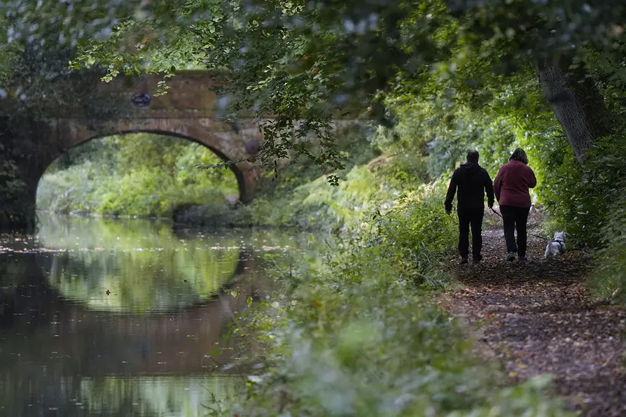


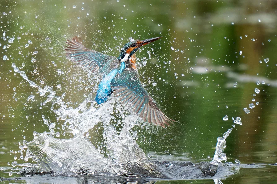
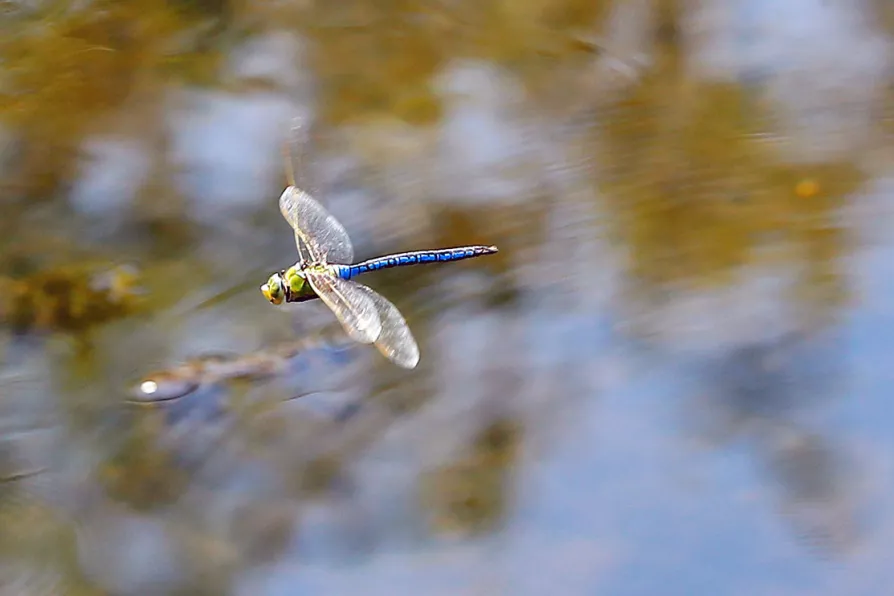
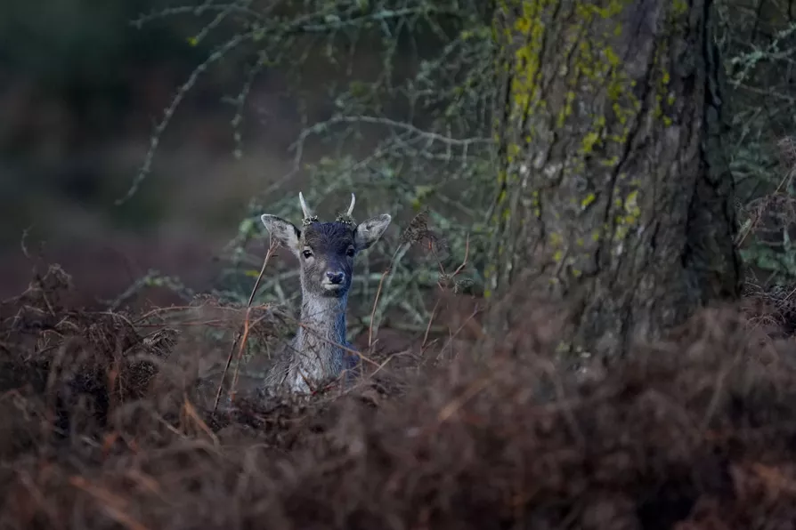
A NEW map published today shows how the ecological footprint of Britain’s canal network supports the country’s wildlife.
The waterways boast 304 conservation areas and 68 sites of special scientific interest.
Nearly 14,600 acres of habitats are found alongside the canals.

Similar stories

Man-made canals like Panama and Suez face unprecedented challenges from extreme weather patterns and geopolitical tensions that reveal the fragility of our global trade networks, write ROX MIDDLETON, LIAM SHAW and MIRIAM GAUNTLETT